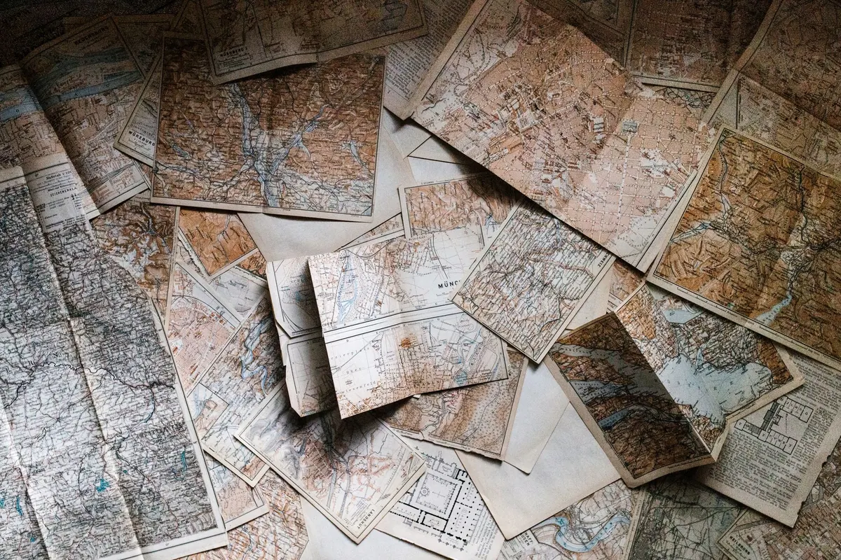
An old map can be genuine and still mislead you. The date printed in the cartouche might refer to the original survey, not the impression in your hands. A map “by” a famous cartographer may come from an atlas reissued decades later. Identification is really a conversation between paper, ink, geography, and the people who published it. Slow down, look closely, and the map will usually tell you what it is—or at least narrow the possibilities.
Paper is the hardest evidence to fake convincingly. Hold the sheet to a strong light and look for the structure beneath the printed image. Before the mid-eighteenth century, most European paper was laid paper: it shows closely spaced laid lines and wider chain lines, like a grid. Wove paper, which has a smoother, more uniform surface, became common later, though it was used alongside laid paper for a long time. Neither type guarantees a date on its own.
Watermarks are more useful. A name, crest, or countermark in the paper can sometimes be matched to a known papermaker, mill, or region. A watermark is not a date stamp, but it can place a sheet within a broad period or reveal that a map is printed on paper too modern for its stated date.
One clue rarely settles the question. Old paper can be cleaned or married to a different map; modern paper can be tinted. Together, though, paper, watermark, and plate mark set useful limits.
Most antique maps were printed either from woodblocks or from copper or steel plates. Later maps may be lithographs, and modern reproductions are usually offset or digital. The printing method affects the look of every line, so it is worth learning to recognise the main types.
Woodcut lines tend to be bold and slightly irregular, with a handmade quality. Engraving, done with a burin on a metal plate, produces fine, crisp lines that often taper at the ends and show a controlled, wiry strength. Etching uses acid to bite lines into a plate, giving a softer, more fluent line than engraving. A true intaglio print usually leaves a plate mark, and the ink sits slightly raised on the paper.
Lithography, developed in the late eighteenth century, relies on the repulsion of grease and water. It often has a grainy, crayon-like texture and normally lacks a plate mark. Later commercial printing may show halftone dots under a loupe. Digital reproductions can look flat, with pixels instead of ink texture, and may have a printed border that mimics a plate mark without the actual indentation.
Content often dates a map more precisely than paper does. Coastlines, borders, railways, canals, city walls, and place names all change over time. A map showing a unified Germany must postdate 1871. One showing the Suez Canal must postdate its opening in 1869. A map that labels Constantinople rather than Istanbul may predate the official name change in 1930, though older names lingered in atlas plates for years.
Use these details as brackets, not proof. A mapmaker might copy an outdated source, and a publisher might reissue an old plate without correcting it. Still, internal evidence can expose a mismatch: a map claiming to be from 1650 but showing a railway line is not what it seems.
If a railway appears, the survey or revision came after that line was built. If a colonial border is shown, the map reflects the political arrangement of that moment. Phantom islands, mythical coastlines, and older errors can point to an earlier source, while corrected geography can indicate a later state of the plate.
The imprint—publisher, engraver, place of publication, and date—is a fingerprint. Check the wording carefully. Publishers moved premises, changed partnerships, and updated addresses. A change from one street address to another can date an edition even when the map itself looks identical. Privileges, dedications, and phrases such as cum privilegio can also point to a period or a specific edition.
Many antique maps are undated, and that is normal. Look up the names in reference works such as Tooley’s Dictionary of Mapmakers, atlas bibliographies, and national library catalogues. Compare the title, scale, border, and cartouche with documented examples. A “state” is any change made to the printing plate: a corrected name, an added coastline, a reworked cartouche. Later states can be printed decades after the first.
Hand colour is both a clue and a trap. Early colour was often applied after printing, sometimes by the publisher, sometimes by a later owner. It tends to be uneven, muted, and slightly loose within the lines. Modern colour can be bright and uniform, and under magnification the pigment may sit on the surface rather than sink into the paper.
Margins tell a story too. A trimmed sheet may have lost its plate mark or imprint. A map laid down on board may hide a damaged verso. Tape stains, wormholes, foxing, and facsimile repairs all affect condition. Ultraviolet light can reveal some modern papers and adhesives, but it is only one tool. Condition affects value more than age, and an honestly restored map can still be collectible.
No one identifies a map in isolation. Build a small reference shelf and use digital collections from national libraries, university map rooms, and reputable map dealers. Compare watermarks, plate marks, titles, and states. Keep notes on every map you handle: where you bought it, what you paid, what you observed, and what you concluded.
If a map might be valuable, pay for a professional opinion from an experienced map dealer or auction specialist. Ask what evidence supports the date and get it in writing. For everyday collecting, a dealer who offers returns and describes condition honestly is worth more than a mysterious bargain with no provenance.
The more maps you handle, the faster your eye becomes. Start with inexpensive common sheets, study them closely, and resist the urge to clean or repair anything until you understand what you have. A map that has been properly examined is more interesting than one merely owned.
Photo: Andrew Neel / Pexels

Most figure-painting problems start before the brush touches the model. Here are the priming, base coating and...

Turn pinecones, twigs and dried orange slices into tree ornaments, garlands and wreaths, with clear drying methods,...

A practical guide to garden macro photography with basic gear — finding subjects, holding focus, shaping light and...

Explore hobbies in the Cotswolds.
